PWS Weather Buoy
PROJECT
PWS Weather Buoy
PWS Weather Buoy
Background
Tanker vessels transiting through Prince William Sound make use of weather and wave observations transmitted from a network of NOAA NDBC buoys in the region when deciding on whether or not it is safe to proceed through the area. NDBC buoys do sometimes fail, and it is often many months before they can be serviced; it has also been suggested by local mariners that the placement of the mid-PWS buoy (buoy 46060) is located far enough to the east that it may not give a good representation of conditions during northerly winds. We have developed a small weather buoy to be deployed in a complimentary location (the western side of PWS, in the vicinity of Naked Island), to give better information on the wind/wave conditions in that part of the sound.
Methods
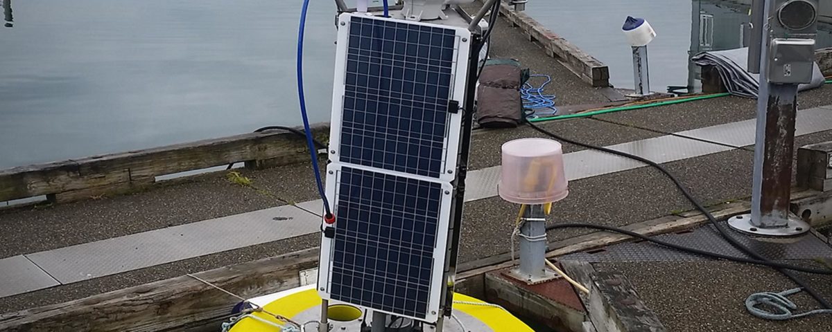
We have used a commercially available Fondriest CB-1450 data buoy hull, and outfitted it with a suite of weather and oceanographic instrumentation, including: temperature/relative humidity, barometric pressure, wind speed and direction, solar insolation, waves, and surface currents. We have also developed a custom 360 degree webcam that makes use of 8 separate Raspberry Pi cameras arranged in a circle. The buoy will be deployed in March 2017 and will transmit data via cellular internet.
PRINCIPAL INVESTIGATOR
R.W. Campbell Ph.D.
Prince William Sound Science Center
Vox: (907) 424.5800 x241
Fax: (907) 424.5820
rcampbell@pwssc.org
RESEARCH PERIOD
2015-2018