PWS Ocean Observing System
PROJECT
PWS Ocean Observing System
Background
The Prince William Sound Ocean Observing System is a component of the Alaska Ocean Observing system. The effort began with the installation of Snotel weather stations in the early 2000s and an effort to develop atmospheric and oceanic models focused on the region. Much of the work and development was conducted in partnership with the Oil Spill Recovery Institute. A 2009 field effort examined how well the models were able to predict observed conditions and the ability to connect the ocean observing information to oil spill trajectory models. Based on the results of the field observations extra effort was placed on improving the hydrological model that provides the freshwater input to the circulation model. Recent efforts focus on maintaining existing observation platforms and added maintenance of an acoustic array that detects fish that carry acoustic tags.
Methods
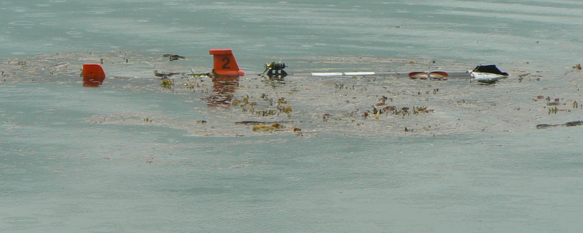
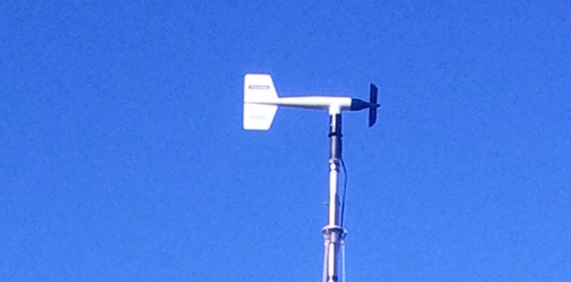
We currently are maintaining a conductivity sensor at the Cordova tide station. The conductivity sensor provides the information necessary to detect changes in salinity as well as temperature. The salinity information tells us how the freshwater input is changing over time. We also continue to work with the National Resource Conservation Service to maintain eight Snotel stations in Prince William Sound and Cook Inlet. These weather stations are designed to provide particularly accurate information on precipitation, which is critical to the ocean circulation in the region. The last component of the current PWSOOS is maintenance of the Offshore-Tracking-Network (OTN) array. Funds are used to support retrieval of data from the moored arrays at the entrances to Prince William Sound. More information can be found under the research programs at https://pwssc.org/ocean-tracking-network/.
What we are learning
The project provides data for users and is not meant to address a particular question. Weather and camera systems from the Snotel stations are provided for marine operations and aircraft pilots to improve safety. They are also available in case of an oil spill to provide measurements needed in oil trajectory modeling. The stations have been operating for over a decade so we can now start to examine climatology and how conditions have been changing. The conductivity sensor measurements are provided through the AOOS portal and through NOAA's tidesandcurrents website. Maintenance of the OTN array has provided information on the movement of herring, Pacific cod, and Lingcod along with sharks and others that have been tagged.
PRINCIPAL INVESTIGATOR
W. Scott Pegau Ph.DPWSSC wspegau@pwssc.org
