Spawn Surveys

PROJECT
Spawn Surveys
Background
Herring gather to spawn in large numbers. This provides an opportunity to get information on the biomass of the spawning stock and age composition. This information is then fed into the age-structure-analysis (ASA) model to estimate the return for the next year. Aerial surveys have been conducted each spring since 1972.
Methods
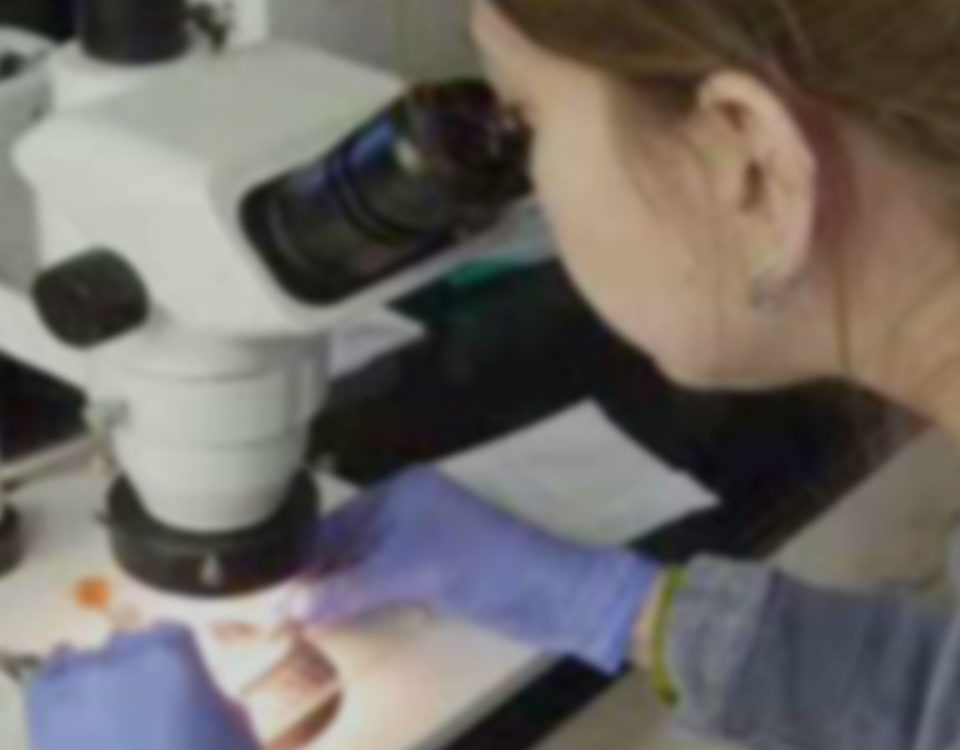
Aerial surveys are used to measure the miles of spawn, estimate biomass, and map congregations of birds and mammals. Information we gather is recorded on an electronic tablet and photographs taken for confirmation of the distribution of spawn. Fish are collected using a seine or cast nets. The fish are frozen and later analyzed to determine age, weight, length, and sexual maturity. Fish are also provided to the herring disease and maturity projects. The length-weight information used by the acoustic survey project. One of the main measurements collected from these aerial surveys is known as mile-days of spawn. Each day an aerial survey is conducted the miles of spawn observed is recorded. At the end of the survey season, the number of miles of spawn observed on each individual survey are added together to get the measurement. In other words, mile-days spawn is the measure of spawn observed each spring.
What we are learning
In 2020, twenty aerial surveys were conducted, and we observed herring milt on over half of our flying days (Fig. 1). Milt was documented in multiple areas where spawn has not been observed in recent years. Most notably, Port Chalmers on Montague Island, and Double Bay and Port Etches on Hinchinbrook Island. The 2020 estimate of 23.7 mile-days of milt is the most since 2014.
In collaboration with Cordova residents we collected herring samples for the disease team and the Age Sex Length (ASL) data using cast nets at Red Head, Hells Hole and Canoe Pass. The age composition shows a large proportion of age-4 fish in 2020 stemming from a highly abundant age class produced from 2016 spawn events.

Figure 1. Observed spawning events in Prince William Sound during 2020 aerial surveys.
PRINCIPAL INVESTIGATOR
Jenni MorellaJennifer.morella@alaska.gov
RESEARCH PERIOD
2017-2021FUNDING
Exxon Valdez Oil Spill Trustee CouncilAlaska Department of Fish & Game

